
海線計劃-解疆域想像踏查

海線計劃-解疆域想像踏查

海線計劃-解疆域想像踏查
海線計劃-解疆域想像踏查


Coastline Project - Field Research of Imaginary Deterritorialization
海線計劃-解疆域想像踏查
Wood board, bent pipe, digital print, photograph, paint, acrylic board, and metal.
L600xW380xH170cm
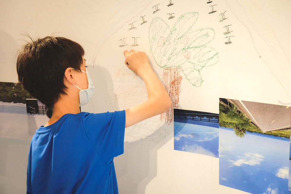
Combining workshops and exhibitions, The Coastline Project unfolds in two distinct phases. As a prelude to the project, the first phase crowdforced photographs of coastlines from around the world via the internet. Serving as the project's official beginning, the second phase explores the territorialization and deterritorialization of Taiwan as an island nation. It creates a mapping of illusions where the interior and exterior are inverted, while relinquishing image-making agency to the workshop participants. Through spatial installations, the traditional correspondence between land and sea is overturned as participants collage and connect the boundaries between them.
The Coastline Project reconstructs a deterritorialized, imaginary landscape by collecting, collaging, and painting the coastline photos through the eyes of various viewers. By handing over image-making agency to others, the project adopts the visual perspective of land-dwellers, infinitely extending and connecting the borders of the sea to evoke collective memory. Participants extract their most memorable coastal views, stitching together public-contributed photographs to form a panoramic, utopian loop around the island that is simultaneously illusory and real. Utilizing global coastlines as visual sources, the shape of the island is turned inside out, transforming the space into a displaced, anachronistic site of illusion.
Photo Credit : 王士源